
Papeles:Australia Queensland location map.svg

Kasisigud a papeles (SVG a papeles, babassit ngem 1,169 × 1,540 pixels, kadakkel ti papeles: 808 KB)
| Daytoy ket papeles a nagtaud manipud idiay Wikimedia Commons. Ti pakaammo manipud iti bukodna a deskripsion a panid idiay ket naiparang dita baba. Ti Commons ket repositorio dagiti nawaya a nalisensiaan a midia. Mabalinmo ti tumulong. |
Pakabuklan
| Deskripsion |
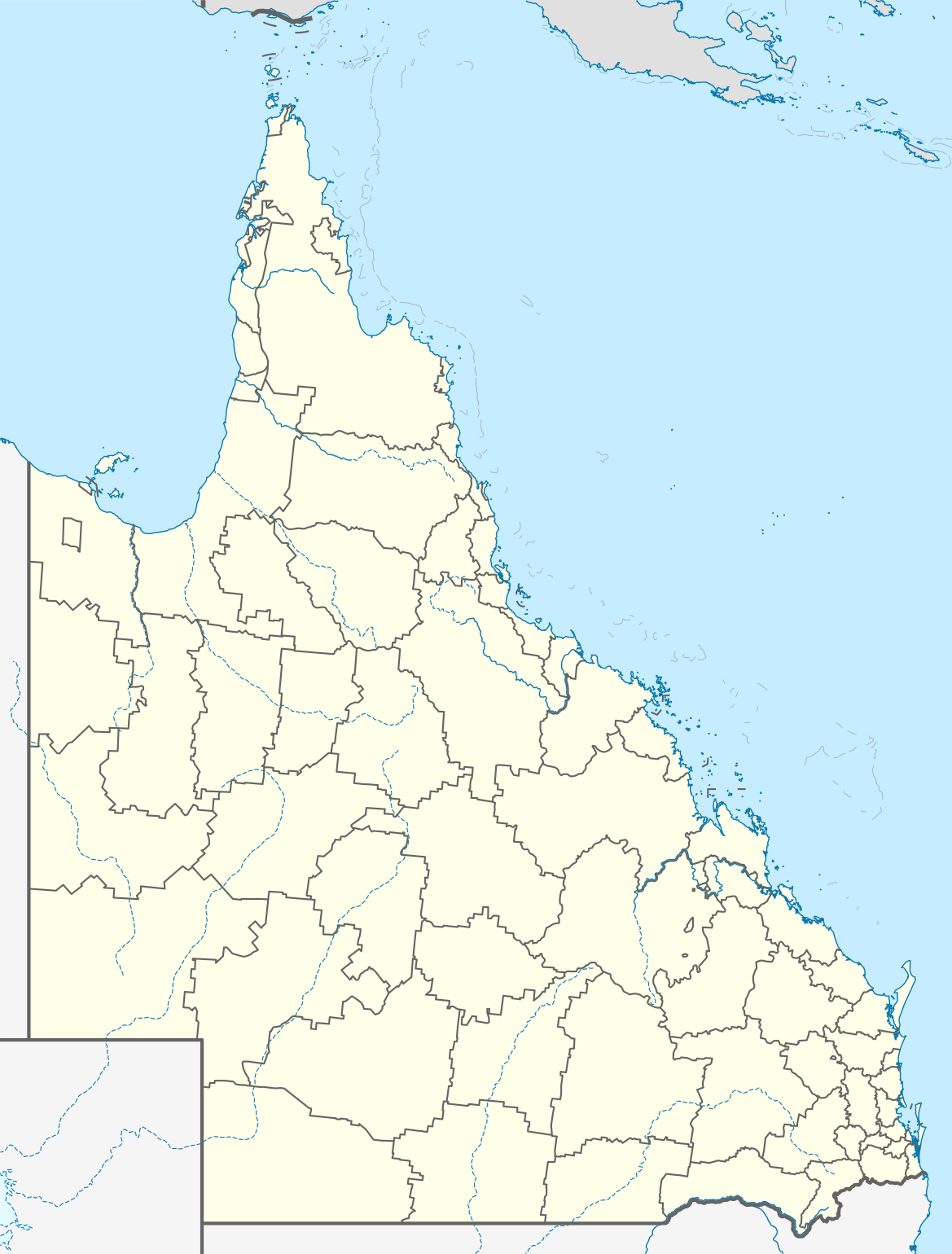
Quadratische Plattkarte, N-S-Streckung 106 %. Geographische Begrenzung der Karte:
Equirectangular projection, N/S stretching 106 %. Geographic limits of the map:
|
||
| Petsa | |||
| Taudan |
Bukod nga obra, using
|
||
| Mannurat | NordNordWest | ||
| Pammalubos (Ti panagusar manen iti daytoy a papeles) |
Daytoy a papeles ket nalisensiaan babaen ti Creative Commons Attribution-Share Alike 3.0 Germany a lisensia.
 |
||
| SVG genesis | This map was created with unknown tool.
|


Pakasaritaan ti papeles
Pinduten iti petsa/oras tapno makita ti papeles a kas naiparang iti dayta a panawen.
| Petsa/Oras | Bassit a ladawan | Dagiti rukod | Agar-aramat | Komentario | |
|---|---|---|---|---|---|
| agdama | 16:31, 3 Enero 2022 | | 1,169 × 1,540 (808 KB) | The2016 | Updated to show the de-amalgamated Shires of Livingstone, Noosa, Mareeba and Douglas. |
| 22:07, 4 Abril 2010 |  | 1,169 × 1,540 (804 KB) | Chumwa | Reverted to version as of 20:09, 21 January 2010 | |
| 19:54, 4 Abril 2010 |  | 1,169 × 1,540 (638 KB) | Roke~commonswiki | local government low saliance, dont appear on general use maps | |
| 20:09, 21 Enero 2010 |  | 1,169 × 1,540 (804 KB) | NordNordWest | final | |
| 20:26, 13 Enero 2010 |  | 1,169 × 1,540 (638 KB) | NordNordWest | {Information |Description= {{de|Positionskarte von Queensland, Australien, Vorversion}} Quadratische Plattkarte, N-S-Streckung 106 %. Geographische Begrenzung der Karte: * N: 9.0° S * S: 29.5° S * W: 137.5° O |
Panagusar iti papeles
Ti sumaganad a 2 a pampanid ket agus-usar iti daytoy a papeles:
Global a panagusar ti papeles
Dagiti sumaganad a wiki ket agus-usar iti daytoy a papeles:
- Panagusar idiay af.wikipedia.org
- Panagusar idiay als.wikipedia.org
- Panagusar idiay ar.wikipedia.org
- Panagusar idiay arz.wikipedia.org
- Panagusar idiay ast.wikipedia.org
- Panagusar idiay azb.wikipedia.org
- Panagusar idiay ba.wikipedia.org
- Panagusar idiay be.wikipedia.org
- Panagusar idiay bg.wikipedia.org
- Panagusar idiay bn.wikipedia.org
- Panagusar idiay ceb.wikipedia.org
- Panagusar idiay cs.wikipedia.org
- Panagusar idiay da.wikipedia.org
- Panagusar idiay de.wikipedia.org
- Brisbane
- Gold Coast (Australien)
- Cairns
- Australia Zoo
- Q1 Tower
- Port Douglas (Queensland)
- Townsville
- Cooktown
- Mount Isa
- Rockhampton
- Kuranda
- Coolangatta
- Thuringowa
- Mackay (Queensland)
- Gateway Bridge
- Logan (Australien)
- Marburg (Queensland)
- Minden (Queensland)
- Mission Beach (Queensland)
- Birdsville (Queensland)
- Southport (Australien)
- Caloundra
Kitaen ti adu pay a global a panagusar iti daytoy a papeles.