
Papeles:Chad adm location map.svg

Kasisigud a papeles (SVG a papeles, babassit ngem 899 × 1,349 pixels, kadakkel ti papeles: 215 KB)
| Daytoy ket papeles a nagtaud manipud idiay Wikimedia Commons. Ti pakaammo manipud iti bukodna a deskripsion a panid idiay ket naiparang dita baba. Ti Commons ket repositorio dagiti nawaya a nalisensiaan a midia. Mabalinmo ti tumulong. |
Pakabuklan
| Deskripsion |
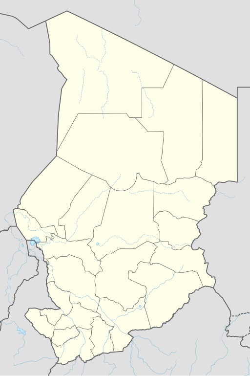
Deutsch: Positionskarte von Tschad
English: Location map of Chad
|
||||||||||||
| Petsa | |||||||||||||
| Taudan |
Own work using: |
||||||||||||
| Mannurat | NordNordWest | ||||||||||||

|
This map has been made or improved in the German Kartenwerkstatt (Map Lab). You can propose maps to improve as well.
|
Lisensia
Usage of this file with:

explanatory notes: Legally binding is only the full legalcode. For a free usage I recommend to respect the following licence conditions:
1. Provide my name as given above: NordNordWest,
2. a copy of, or the URI for, the applicable license: https://creativecommons.org/licenses/by-sa/3.0/de/legalcode,
3. the title of the work,
4. in the case of an adaptation, a credit identifying the use of the work in the adaptation.
This license and the rights granted hereunder will terminate automatically upon any breach by you of the terms of this license. Any of the above conditions can be waived if you get permission from the copyright holder. If you have questions or wish differing conditions, please contact me through nnwest or my discussion page ![]() t-online.de
t-online.de
- Nawaya ka:
- ti makibingay – ti ag-kopia, agiwaras ken agipatulod ti obra
- ti pagtipon-tipon – ti panagibagay ti obra
- Babaen kadagiti sumaganad a kasasaad:
- pammadayaw – Nasken a mangtedka iti pammadayaw, mangited iti silpo iti lisensia, ken mangibaga no adda dagiti nabaliwan. Mabalinmo nga aramiden iti ania man a pamay-an, ngem iti san a waya a mangisingasing a mangigupit kenka wenno iti panagusarmo.
- makibingay nga agpadapada – No laokam, baliwam, wenno agpartuat manipud iti dayata material, nasken nga iwaras dagiti kontribusionmo babaen ti kapada wenno maitunos a lisensia a kas ti kasisigud.

Pakasaritaan ti papeles
Pinduten iti petsa/oras tapno makita ti papeles a kas naiparang iti dayta a panawen.
| Petsa/Oras | Bassit a ladawan | Dagiti rukod | Agar-aramat | Komentario | |
|---|---|---|---|---|---|
| agdama | 19:46, 7 Disiembre 2021 | | 899 × 1,349 (215 KB) | NordNordWest | corr |
| 20:48, 30 Hunio 2015 |  | 899 × 1,349 (228 KB) | NordNordWest | == {{int:filedesc}} == {{Information |Description= {{de|1=Positionskarte von Tschad}} {{en|1=Location map of Chad}} {{Location map series N |stretching=103,7149 |top=23.95 |bottom=6.95 |left=12.85 |right=24.6 }} |Source={{Own using}} * {{f|Chad locatio... |
Panagusar iti papeles
Ti sumaganad a 2 a pampanid ket agus-usar iti daytoy a papeles:
Global a panagusar ti papeles
Dagiti sumaganad a wiki ket agus-usar iti daytoy a papeles:
- Panagusar idiay af.wikipedia.org
- Panagusar idiay an.wikipedia.org
- Panagusar idiay ast.wikipedia.org
- Panagusar idiay azb.wikipedia.org
- Panagusar idiay bcl.wikipedia.org
- Panagusar idiay bn.wikipedia.org
- Panagusar idiay ca.wikipedia.org
- Panagusar idiay de.wikipedia.org
- N’Djamena
- Abéché
- Sarh
- Doba (Tschad)
- Moundou
- Ati (Stadt)
- Mongo (Tschad)
- Ouara (Tschad)
- Mdaga
- Kélo
- Faya-Largeau
- Vorlage:Positionskarte Tschad
- Bol (Tschad)
- Fada (Tschad)
- Aorounga
- Benutzer Diskussion:SpesBona/Archiv
- Bardaï
- Massenya
- Benutzer:Zumthie/Kreise
- Massaguet
- Flughafen N’Djamena
- Léré (Tschad)
- Bongor
Kitaen ti adu pay a global a panagusar iti daytoy a papeles.