
Papeles:India West Bengal adm location map.svg

Kasisigud a papeles (SVG a papeles, babassit ngem 1,039 × 1,585 pixels, kadakkel ti papeles: 350 KB)
| Daytoy ket papeles a nagtaud manipud idiay Wikimedia Commons. Ti pakaammo manipud iti bukodna a deskripsion a panid idiay ket naiparang dita baba. Ti Commons ket repositorio dagiti nawaya a nalisensiaan a midia. Mabalinmo ti tumulong. |
Pakabuklan
| Deskripsion |
Deutsch: Positionskarte von Westbengalen, Indien
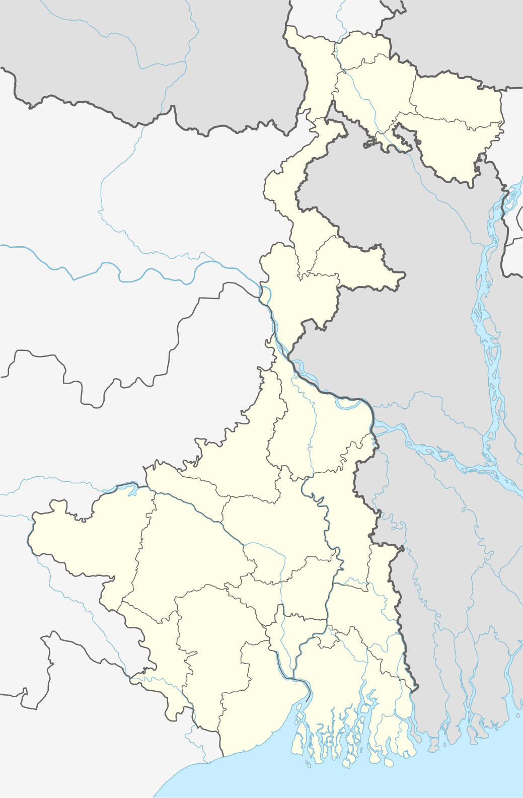
English: Location map of West Bengal, India
|
||||||||||||
| Petsa | |||||||||||||
| Taudan |
Own work using:
|
||||||||||||
| Mannurat | NordNordWest | ||||||||||||

|
This map has been made or improved in the German Kartenwerkstatt (Map Lab). You can propose maps to improve as well.
|
Lisensia
Usage of this file with:

explanatory notes: Legally binding is only the full legalcode. For a free usage I recommend to respect the following licence conditions:
1. Provide my name as given above: NordNordWest,
2. a copy of, or the URI for, the applicable license: https://creativecommons.org/licenses/by-sa/3.0/de/legalcode,
3. the title of the work,
4. in the case of an adaptation, a credit identifying the use of the work in the adaptation.
This license and the rights granted hereunder will terminate automatically upon any breach by you of the terms of this license. Any of the above conditions can be waived if you get permission from the copyright holder. If you have questions or wish differing conditions, please contact me through nnwest or my discussion page ![]() t-online.de
t-online.de
- Nawaya ka:
- ti makibingay – ti ag-kopia, agiwaras ken agipatulod ti obra
- ti pagtipon-tipon – ti panagibagay ti obra
- Babaen kadagiti sumaganad a kasasaad:
- pammadayaw – Nasken a mangtedka iti pammadayaw, mangited iti silpo iti lisensia, ken mangibaga no adda dagiti nabaliwan. Mabalinmo nga aramiden iti ania man a pamay-an, ngem iti san a waya a mangisingasing a mangigupit kenka wenno iti panagusarmo.
- makibingay nga agpadapada – No laokam, baliwam, wenno agpartuat manipud iti dayata material, nasken nga iwaras dagiti kontribusionmo babaen ti kapada wenno maitunos a lisensia a kas ti kasisigud.

Pakasaritaan ti papeles
Pinduten iti petsa/oras tapno makita ti papeles a kas naiparang iti dayta a panawen.
| Petsa/Oras | Bassit a ladawan | Dagiti rukod | Agar-aramat | Komentario | |
|---|---|---|---|---|---|
| agdama | 22:42, 26 Abril 2020 | | 1,039 × 1,585 (350 KB) | C1MM | Reverted to version as of 08:29, 23 May 2019 (UTC) |
| 22:41, 26 Abril 2020 |  | 1,039 × 1,585 (362 KB) | C1MM | Changed color of rivers according to French/German location map conventions: color #0978AB | |
| 08:29, 23 Mayo 2019 |  | 1,039 × 1,585 (350 KB) | NordNordWest | upd | |
| 11:42, 6 Hunio 2018 |  | 1,039 × 1,585 (335 KB) | NordNordWest | == {{int:filedesc}} == {{Information |description= {{de|1=Positionskarte von Westbengalen, Indien}} {{en|1=Location map of West Bengal, India}} {{Location map series N |stretching=110 |top=27.4 |bottom=21.3 |left=85.6 |right=90 }} |source={{Own using}} * United States National Imagery and Mapping Agency data * World Data Base II data |date=2018-06-06 |author={{U|NordNordWest}} |permission= |other_versions= }} {{Kartenwerkstatt}} == {{int:license-header}} == {{User:NordNordWest/LicenceMap}} ... |
Panagusar iti papeles
Ti sumaganad a 3 a pampanid ket agus-usar iti daytoy a papeles:
Global a panagusar ti papeles
Dagiti sumaganad a wiki ket agus-usar iti daytoy a papeles:
- Panagusar idiay ar.wikipedia.org
- Panagusar idiay as.wikipedia.org
- Panagusar idiay azb.wikipedia.org
- کلکته
- تونقلو, باتی بنقال
- سانکاری, باتی بنقال
- روهینی, باتی بنقال
- پانچکولا (باتی بنقال )
- کوارا, باتی بنقال
- کاشیپور, باتی بنقال
- دبیپور, باتی بنقال
- پیاسالا
- فوتیقودا
- فولکوسما
- ساتاری, مالدا
- ساتپالسا
- ساتکول
- ساتبانکورا
- سارماستر چاک
- ساریشا
- سارنقا, بانکورا
- ساربریا
- سانتوری, پورولیا
- مایورهات
- مایورسوار
- مایدا, جایناقار
- مایاهاوری
- سانکرایل, جارقرام
- سانکار پارولیا
- سانقرامپور, ماقراهات
- ماتکاتپور
- کالیناقار, جایناقار
- کالیقرام
- ماسینا, پورولیا
- کالاپاتار
- سامودراقاره
- ماساقرام
- سامتا, ایندیا
- سامسی, مالدا
- ماروادیه
- کالابریا
Kitaen ti adu pay a global a panagusar iti daytoy a papeles.