
Papeles:Israel location map with stripes.svg

Kadakkel daytoy a panangipadas ti PNG iti daytoy a papeles ti SVG: 322 × 598 dagiti piksel. Sabali kadagiti resolusion: 129 × 240 dagiti piksel | 258 × 480 dagiti piksel | 413 × 768 dagiti piksel | 551 × 1,024 dagiti piksel | 1,102 × 2,048 dagiti piksel | 614 × 1,141 dagiti piksel.
Kasisigud a papeles (SVG a papeles, babassit ngem 614 × 1,141 pixels, kadakkel ti papeles: 170 KB)
| Daytoy ket papeles a nagtaud manipud idiay Wikimedia Commons. Ti pakaammo manipud iti bukodna a deskripsion a panid idiay ket naiparang dita baba. Ti Commons ket repositorio dagiti nawaya a nalisensiaan a midia. Mabalinmo ti tumulong. |
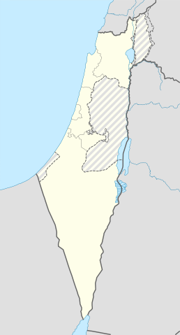
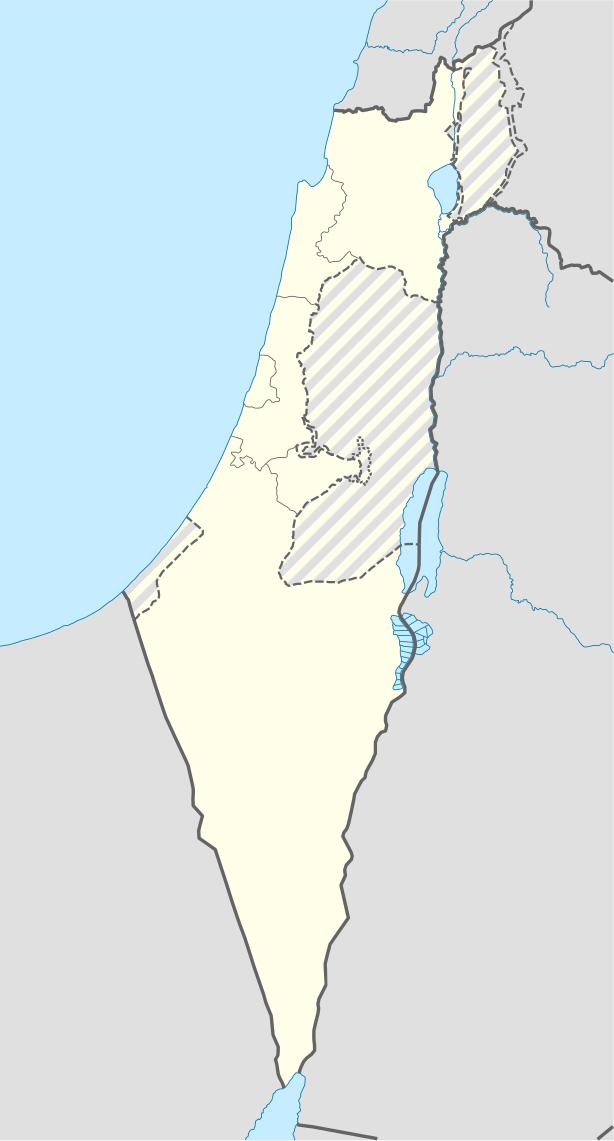
| Deskripsion | Location map of Israel, with the Israeli-occupied Palestinian territories of the West Bank and the Gaza Strip and the Syrian Golan Heights grey stripes. | ||
| Petsa | |||
| Taudan | Own work based on: Israel location map.svg by NordNordWest | ||
| Mannurat | Jackmcbarn | ||
| Pammalubos (Ti panagusar manen iti daytoy a papeles) |
Siak, ti agtengtengel ti karbengan ti kopia iti daytoy nga obra, ket agipablaak babaen kadagiti sumaganad a lisensia:
Daytoy a papeles ket nalisensiaan babaen ti Creative Commons Attribution-Share Alike 3.0 Unported a lisensia.
Mabalinmo ti agpili kadagiti lisensia a kaykayatmo. |
||
| SVG genesis | This locator map was created with unknown tool. |

Pakasaritaan ti papeles
Pinduten iti petsa/oras tapno makita ti papeles a kas naiparang iti dayta a panawen.
| Petsa/Oras | Bassit a ladawan | Dagiti rukod | Agar-aramat | Komentario | |
|---|---|---|---|---|---|
| agdama | 14:43, 16 Hunio 2018 | | 614 × 1,141 (170 KB) | Jdx | Reverted to version as of 10:35, 16 June 2018 (UTC) |
| 14:04, 16 Hunio 2018 |  | 504 × 936 (170 KB) | Beebbeebe | Reverted to version as of 00:40, 16 June 2018 (UTC) don't revert without stating a reason | |
| 10:35, 16 Hunio 2018 |  | 614 × 1,141 (170 KB) | Denniss | Reverted to version as of 04:28, 21 May 2018 (UTC) | |
| 00:40, 16 Hunio 2018 |  | 504 × 936 (170 KB) | Beebbeebe | Reverted to version as of 19:23, 14 May 2018 (UTC) The current map is simply incorrect. And I don't want to upload a new one, I'll have to edit more than a hundred wiki-articles. | |
| 04:28, 21 Mayo 2018 |  | 614 × 1,141 (170 KB) | Nableezy | Reverted to version as of 19:08, 18 September 2016 (UTC) actually go back to standard no green or blue lines | |
| 18:23, 15 Mayo 2018 |  | 614 × 1,141 (174 KB) | Nableezy | Reverted to version as of 03:49, 14 May 2018 (UTC) | |
| 19:23, 14 Mayo 2018 |  | 504 × 936 (170 KB) | Eric's son | Reverted to version as of 13:42, 24 March 2018 (UTC) | |
| 03:49, 14 Mayo 2018 |  | 614 × 1,141 (174 KB) | Nableezy | Reverted to version as of 06:09, 11 March 2018 (UTC) restore golan as occupied territory | |
| 13:42, 24 Marso 2018 |  | 504 × 936 (170 KB) | Eric's son | Correcting color for border with Jordan | |
| 13:26, 24 Marso 2018 |  | 504 × 936 (170 KB) | Eric's son | Fixed correct colors with vector |
Panagusar iti papeles
Ti sumaganad a 3 a pampanid ket agus-usar iti daytoy a papeles:
Global a panagusar ti papeles
Dagiti sumaganad a wiki ket agus-usar iti daytoy a papeles:
- Panagusar idiay af.wikipedia.org
- Rehovot
- Nasaret
- Eilat
- Dimona
- Ramla
- Safed
- Tiberias
- Lod
- Ben Gurion Internasionale Lughawe
- Hadera
- Gedera
- Givatayim
- Be'er Sheva
- Rishon LeZion
- Petah Tikva
- Ashdod
- Netanya
- Binyamina-Giv'at Ada
- Bnei Brak
- Holon
- Ramat Gan
- Ashkelon
- Bat Yam
- Beit Shemesh
- Kfar Saba
- Herzliya
- Modi'in-Maccabim-Re'ut
- Ra'anana
- Ramon-lughawe
- Panagusar idiay an.wikipedia.org
- Panagusar idiay ar.wikipedia.org
- القوات الجوية الإسرائيلية
- قلعة كوكب الهوا
- قالب:Location map Israel Golan
- قالب:Location map Israel ashkelon
- قالب:Location map Israel binyamin
- قالب:Location map Israel center ta
- قالب:Location map Israel haifa
- قالب:Location map Israel jezreel
- قالب:Location map Israel negev mt
- قالب:Location map Israel north haifa
- قالب:Location map Israel north negev
- قالب:Location map Israel northeast
- قالب:Location map Israel northwest
- قالب:Location map Israel northwest negev
- قالب:Location map Israel shomron
- قالب:Location map Israel south wb
- ثقافة كبارية
- مغارة كبارة
Kitaen ti adu pay a global a panagusar iti daytoy a papeles.