
Papeles:LocationOceans.png
Kadakkel daytoy a panagipadas: 800 × 407 dagiti piksel. Sabali kadagiti resolusion: 320 × 163 dagiti piksel | 640 × 326 dagiti piksel | 1,024 × 521 dagiti piksel | 1,280 × 651 dagiti piksel | 2,759 × 1,404 dagiti piksel.
Kasisigud a papeles (2,759 × 1,404 dagiti piksel, kadakkel ti papeles: 55 KB, kita ti MIME: image/png)
| Daytoy ket papeles a nagtaud manipud idiay Wikimedia Commons. Ti pakaammo manipud iti bukodna a deskripsion a panid idiay ket naiparang dita baba. Ti Commons ket repositorio dagiti nawaya a nalisensiaan a midia. Mabalinmo ti tumulong. |

|
This locator map image could be re-created using vector graphics as an SVG file. This has several advantages; see Commons:Media for cleanup for more information. If an SVG form of this image is available, please upload it and afterwards replace this template with
{{vector version available|new image name}}.
It is recommended to name the SVG file “LocationOceans.svg”—then the template Vector version available (or Vva) does not need the new image name parameter. |
Pakabuklan
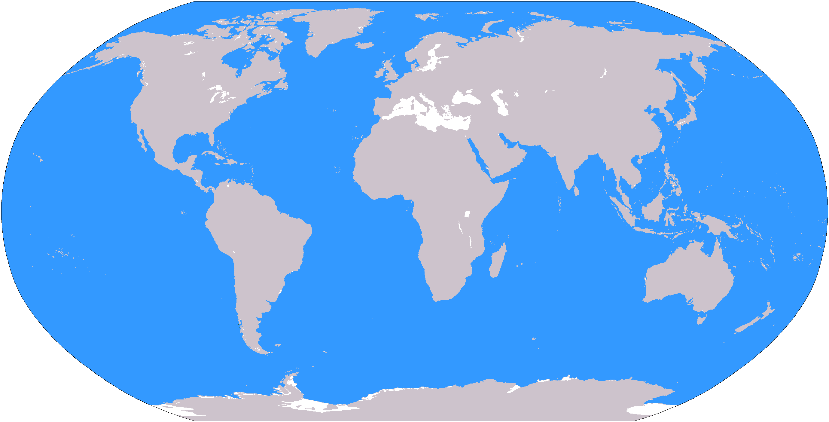
The large plain-grey Image:LocationWorld.png map modified to show oceanic areas in blue.
Lisensia
This image is in the public domain because it contains materials that originally came from the United States Central Intelligence Agency's World Factbook.
|
 |
Pakasaritaan ti papeles
Pinduten iti petsa/oras tapno makita ti papeles a kas naiparang iti dayta a panawen.
| Petsa/Oras | Bassit a ladawan | Dagiti rukod | Agar-aramat | Komentario | |
|---|---|---|---|---|---|
| agdama | 19:26, 8 Marso 2006 | | 2,759 × 1,404 (55 KB) | David Kernow~commonswiki | The large plain-grey Image:LocationWorld.png map modified to show oceanic areas in blue. |
Panagusar iti papeles
Ti sumaganad a 68 a pampanid ket agus-usar iti daytoy a papeles:
- Abagatan a daya nga Asia
- Abagatan nga Amerika
- Abagatan nga Asia
- Adayo a Daya
- Akin-abagatan a Kono
- Akin-abagatan a Taaw
- Akin-abagatan nga Aprika
- Akin-abagatan nga Europa
- Akin-amianan nga Abagatan nga Amerika
- Akin-amianan nga Amerika
- Akin-amianan nga Europa
- Akindaya nga Europa
- Akinlaud nga Asia
- Akinlaud nga Europa
- Amianan a daya nga Asia
- Amianan a laud nga Europa
- Amianan nga Amerika
- Amianan nga Aprika
- Amianan nga Asia
- Antartika
- Antartiko
- Aprika
- Artiko
- Asia
- Asia-Pasipiko
- Asideg a Daya
- Australasia
- Australia (kontinente)
- Baro a Lubong
- Baybay Mediteraneo
- Daan a Lubong
- Daya nga Aprika
- Daya nga Asia
- Es-estado ti Andes
- Espaniol nga Amerika
- Eurasia
- Europa
- Indotsina
- Kaamerikaan
- Karibe
- Kontinente
- Latin nga Amerika
- Laud nga Aprika
- Magreb
- Maritimo nga Abagatan a daya nga Asia
- Melanesia
- Mikronesia
- Oceania
- Polinesia
- Rehion
- Rehion ti polar
- Sara ti Aprika
- Sub-Sahara nga Aprika
- Subkontinente Indiano
- Subrehion
- Taaw Artiko
- Taaw Atlantiko
- Taaw Indiano
- Taaw Pasipiko
- Tengnga a Daya
- Tengnga nga Amerika
- Tengnga nga Amerika (rehion)
- Tengnga nga Aprika
- Tengnga nga Asia
- Tengnga nga Europa
- Transkaukasia
- Plantilia:Dagiti rehion iti lubong
- Kategoria:Dagiti rehion ti Asia
Global a panagusar ti papeles
Dagiti sumaganad a wiki ket agus-usar iti daytoy a papeles:
- Panagusar idiay af.wikipedia.org
- Australasië
- Midde-Ooste
- Sentraal-Amerika
- Atlantiese Oseaan
- Suider-Afrika
- Indiese Oseaan
- Suidelike Oseaan
- Arktiese Oseaan
- Stille Oseaan
- Latyns-Amerika
- Oos-Asië
- Sjabloon:Gebiede van die wêreld
- Noord-Europa
- Melanesië
- Mikronesië
- Polinesië
- Oos-Afrika
- Wes-Afrika
- Noord-Afrika
- Oos-Europa
- Verre Ooste
- Sentraal-Afrika
- Afrika suid van die Sahara
- Seelandië
- Noordpoolgebied
- Karibiese gebied
- Indiese subkontinent
- Suidoos-Asië
- Wes-Asië
- Wes-Europa
- Suid-Europa
- Suid-Asië
- Sentraal-Asië
- Sentraal-Europa
- Suidoos-Europa
- Noord-Asië
- Panagusar idiay ar.wikipedia.org
Kitaen ti adu pay a global a panagusar iti daytoy a papeles.