
Papeles:World map frigid.svg

Kadakkel daytoy a panangipadas ti PNG iti daytoy a papeles ti SVG: 800 × 447 dagiti piksel. Sabali kadagiti resolusion: 320 × 179 dagiti piksel | 640 × 358 dagiti piksel | 1,024 × 572 dagiti piksel | 1,280 × 715 dagiti piksel | 2,560 × 1,430 dagiti piksel | 2,753 × 1,538 dagiti piksel.
Kasisigud a papeles (SVG a papeles, babassit ngem 2,753 × 1,538 pixels, kadakkel ti papeles: 2.19 MB)
| Daytoy ket papeles a nagtaud manipud idiay Wikimedia Commons. Ti pakaammo manipud iti bukodna a deskripsion a panid idiay ket naiparang dita baba. Ti Commons ket repositorio dagiti nawaya a nalisensiaan a midia. Mabalinmo ti tumulong. |
Pakabuklan
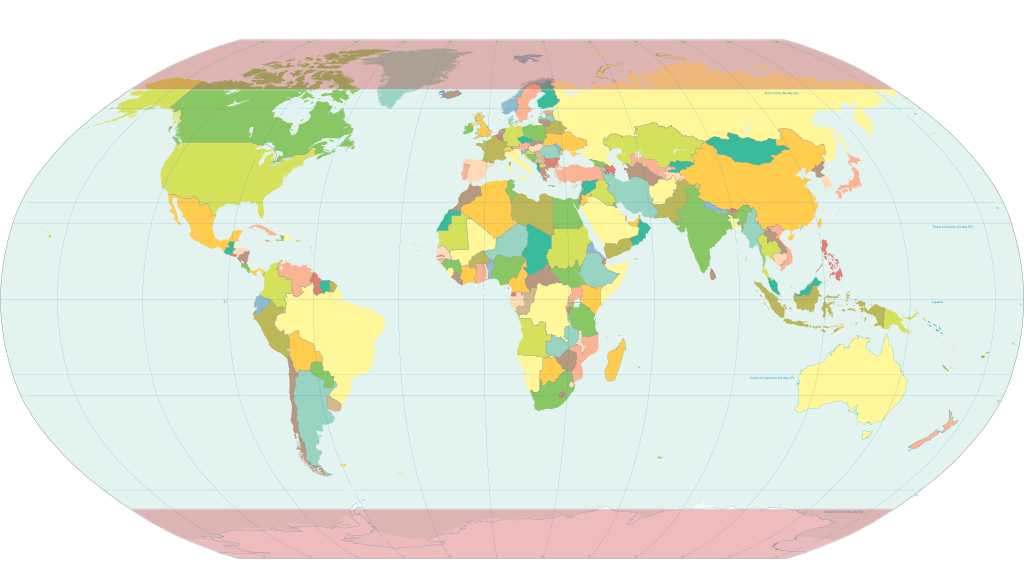
World map with the frigid zones highlighted. Derived via Inkscape from Image:World map pol 2005 v02.svg, which is itself public domain.
Lisensia
This work is in the public domain in the United States because it is a work prepared by an officer or employee of the United States Government as part of that person’s official duties under the terms of Title 17, Chapter 1, Section 105 of the US Code.
Note: This only applies to original works of the Federal Government and not to the work of any individual U.S. state, territory, commonwealth, county, municipality, or any other subdivision. This template also does not apply to postage stamp designs published by the United States Postal Service since 1978. (See § 313.6(C)(1) of Compendium of U.S. Copyright Office Practices). It also does not apply to certain US coins; see The US Mint Terms of Use.
|
 | |
| Daytoy a papeles ket nainaganan a kas nawaya iti amin nga ammo a pakedngan babaen ti karbengan ti kopia a linteg, a mairaman amin a dagiti makaibagian ken karruba a karbengan. | ||
Pakasaritaan ti papeles
Pinduten iti petsa/oras tapno makita ti papeles a kas naiparang iti dayta a panawen.
| Petsa/Oras | Bassit a ladawan | Dagiti rukod | Agar-aramat | Komentario | |
|---|---|---|---|---|---|
| agdama | 15:27, 25 Hulio 2020 | | 2,753 × 1,538 (2.19 MB) | Hogweard | South Sudan border |
| 18:11, 13 Pebrero 2007 |  | 2,753 × 1,538 (2.55 MB) | HorsePunchKid | World map with the frigid zones highlighted. Derived via Inkscape from Image:World map pol 2005 v02.svg, which is itself public domain. |
Panagusar iti papeles
Ti sumaganad a panid ket agus-usar iti daytoy a papeles:
Global a panagusar ti papeles
Dagiti sumaganad a wiki ket agus-usar iti daytoy a papeles:
- Panagusar idiay bn.wikipedia.org
- Panagusar idiay ca.wikipedia.org
- Panagusar idiay en.wikipedia.org
- Panagusar idiay eo.wikipedia.org
- Panagusar idiay et.wikipedia.org
- Panagusar idiay fr.wiktionary.org
- Panagusar idiay hi.wikipedia.org
- Panagusar idiay nn.wikipedia.org
- Panagusar idiay pa.wikipedia.org
- Panagusar idiay sq.wikipedia.org